

Charakterystyka trasy

Komentarze
NA TYCH TRASACH PRZYDA CI SIĘ MAPOPRZEWODNIK LUB MAPA Z NASZEJ APLIKACJI
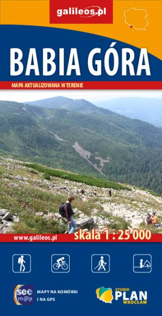
Szczegółowa mapa turystyczna z uwzględnieniem atrakcji, zabytków, noclegów, gastronomii oraz innych miejsc przydatnych turyście. Zawiera nazwy ulic w miejscowościach oraz szlaki turystyczne wraz z kilometrażem. Idealna gdy urlop spędzasz w Zawoni bądź wybierasz się zdobyć najwyższy szczyt Beskidów – Babią Górę zaliczaną do Korony Gór Polskich. Rok wydania: 2018
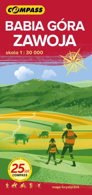
Mapa przedstawia wschodnią część Beskidu Żywieckiego z Babiogórskim Parkiem Narodowym. Zasięg mapy wyznaczają: Stryszawa na północy, Magurka (1'114 m n.p.m.) na zachodzie, Kiczory na południu i Zubrzyca Górna na wschodzie.
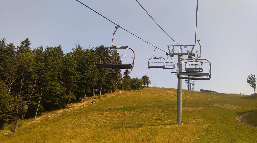
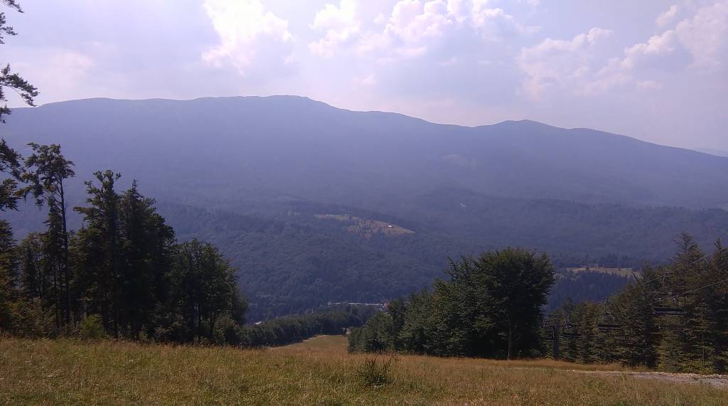
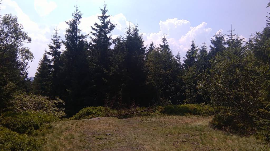
Babia Góra (1'725 m n.p.m.) od wieków przyciągała uwagę podróżników i badaczy, fascynowała pisarzy i poetów. Mówiło się, że na jej szczycie, nie bez powodu zwanym Diablakiem, miały swoją siedzibę złe moce. Babia Góra spośród wszystkich gór polskich, pod względem wysokości ustępuje jedynie szczytom tatrzańskim. Jej charakterystyczną cechą jest asymetria stoków: południowe, opadające w kierunku Orawy są względnie łagodne w stosunku do dobrze widocznych z Zawoi, stromych i urwistych stoków północnych, zwanych „wielką zerwą Babiej Góry”. U północnych podnóży Babiej Góry rozciąga się największa pod względem powierzchni wieś w Polsce – Zawoja. Jest to atrakcyjna miejscowość wypoczynkowa oraz idealna baza wypadowa w Pasmo Babiogórskie. Na mapie zastosowano cieniowanie w celu uzyskania wrażenia plastyczności rzeźby terenu. Mapę offline można zakupić w aplikacji Traseo na urządzenia mobilne. Rok wydania 2022
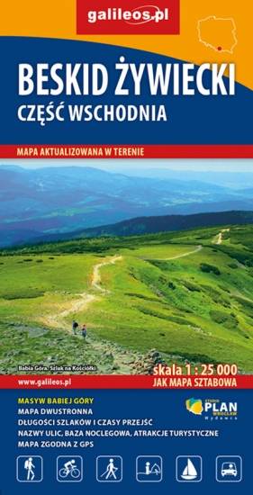
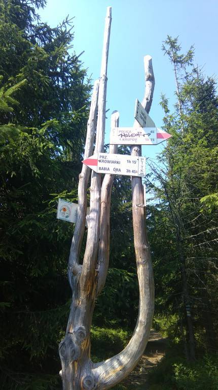
Mapa obejmuje wschodnią część pasma Beskidu Żywieckiego wraz z masywem Babiej Góry. Mapa zawiera aktualny przebieg szlaków pieszych i rowerowych wraz z kilometrażem i orientacyjnymi czasami przejścia. Znajdziemy tu wszelkie atrakcje turystyczne, infrastrukturę turystyczną i sportową. Na mapie zaznaczono miejscowości: Zawoja, Jordanów, Spytkowice, Zubrzyca Górna oraz pogranicze polsko-słowackie. Najbardziej interesujące atrakcje dodatkowo wyróżniono.
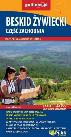
Szczegółowa mapa turystyczna z uwzględnieniem atrakcji, zabytków, ciekawych miejsc oraz infrastruktury turystycznej i sportowej. Zawiera aktualny przebieg szlaków pieszych i rowerowych wraz z kilometrażem i orientacyjnymi czasami przejścia. Mapa obejmuje zachodnią część pasma Beskidu Żywieckiego z miejscowościami: Węgierska Górka; Milówka, Korbielów, Rajcza, Zwardoń oraz pograniczem polsko-słowackim.
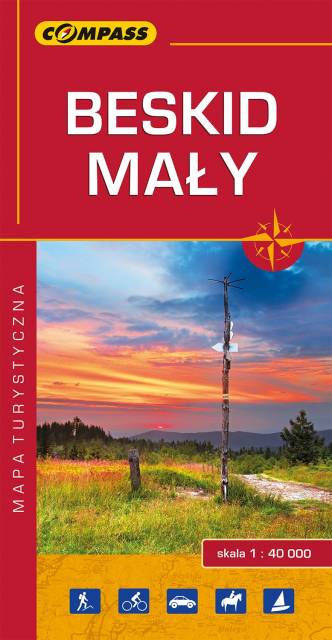
Mapa prezentuje obszar najmniejszego, ale jakże urokliwego polskiego Beskidu. Zasięg mapy obejmuje tereny pomiędzy Bielskiem-Białą na zachodzie i Suchą Beskidzką na wschodzie oraz Wadowicami od północy i Żywcem na południu.
Obszar Beskidu Małego posiada charakter zwartej, rozległej wyspy górskiej, którego najwyższym szczytem jest Czupel (930 m n.p.m.). Dla turystów jest to łatwo dostępny obszar z gęstą siecią szlaków turystyki pieszej, rowerowej i narciarskiej. Jeziora Żywieckie i Międzybrodzkie stwarzają dobre warunki do uprawiania sportów wodnych. Obszar Beskidu Małego to również region bogaty kulturowo, gdzie spotkać można ślady wczesnośredniowiecznych grodzisk, ruiny rycerskich zamków, dawne rezydencje magnackie, staropolskie szlacheckie dworki, czy niespotykane gdzie indziej kamienne szałasy. W regionie tym urodził się i wychował Jan Paweł II, który często wędrował po szlakach tego Beskidu.
Wydawnictwo Compass dokonało aktualizacji mapy na bazie własnych prac terenowych oraz w konsultacji ze znakarzami szlaków.
Wydanie 10, 2017 r.
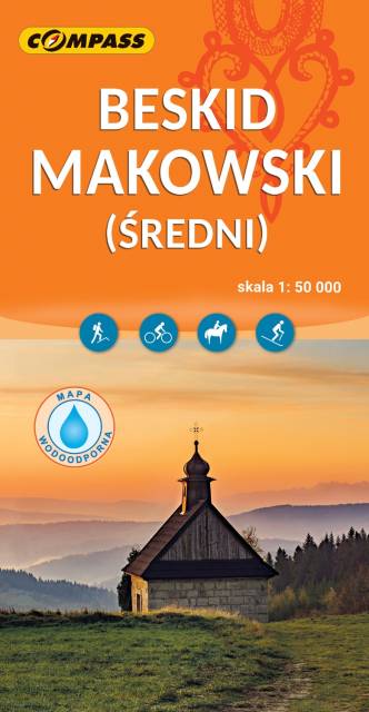
Mapa Beskidu Makowskiego (zwanego także Średnim lub Myślenickim) swoim zasięgiem obejmuje także fragmenty Beskidów: Małego, Żywieckiego i Wyspowego. Najwyższym szczytem jest Mędralowa, pozostałe pasma osiągają wysokość do 700 – 800 m n.p.m. Beskid Makowski jest stosunkowo mało popularny wśród turystów, chociaż jest też dosyć gęsto zaludniony. Na mapie przedstawione zostały szlaki piesze oraz trasy rowerowe, zastosowano także cieniowanie w celu uzyskania wrażenia plastyczności terenu. Mapa offline, którą można zakupić w aplikacji Traseo na urządzenia mobilne, zasięgiem obejmuje tereny od Wadowic na zachodzie po Dobczyce i Rabkę-Zdrój na wschodzie. Rok wydania 2023