
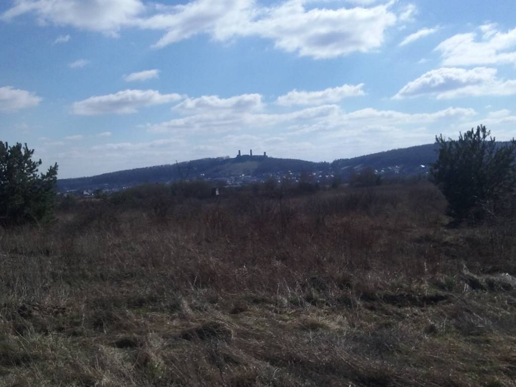
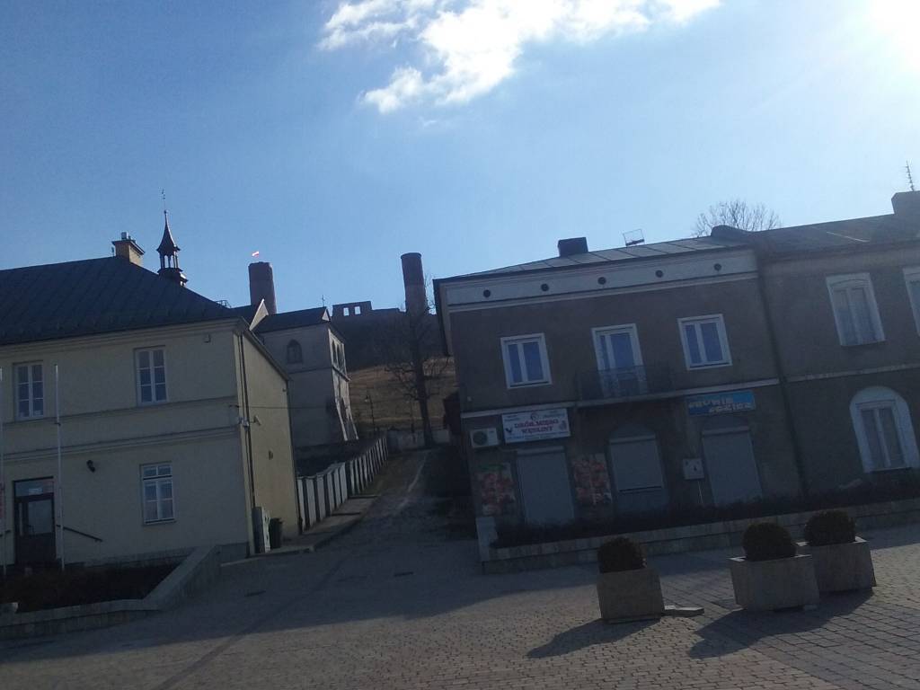
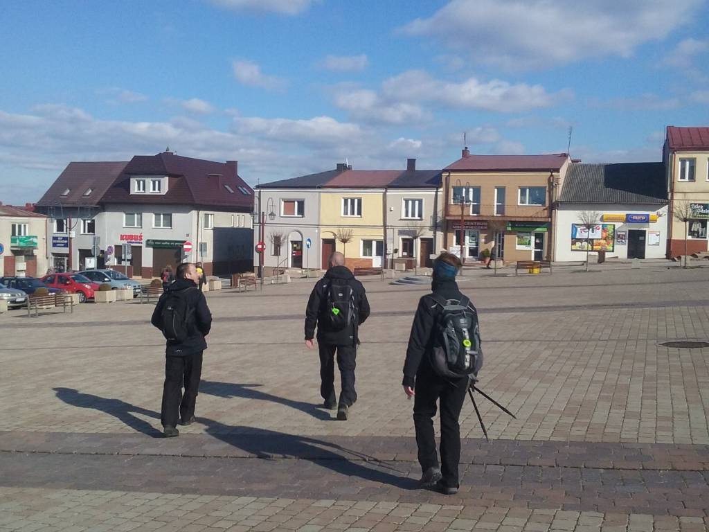
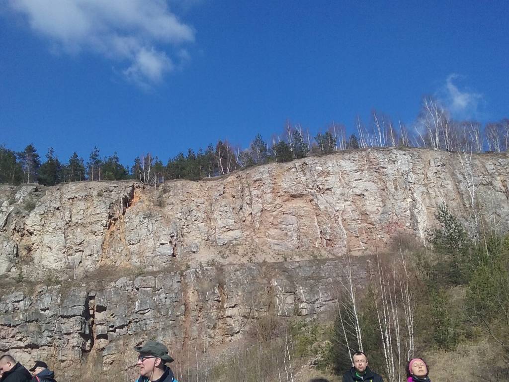
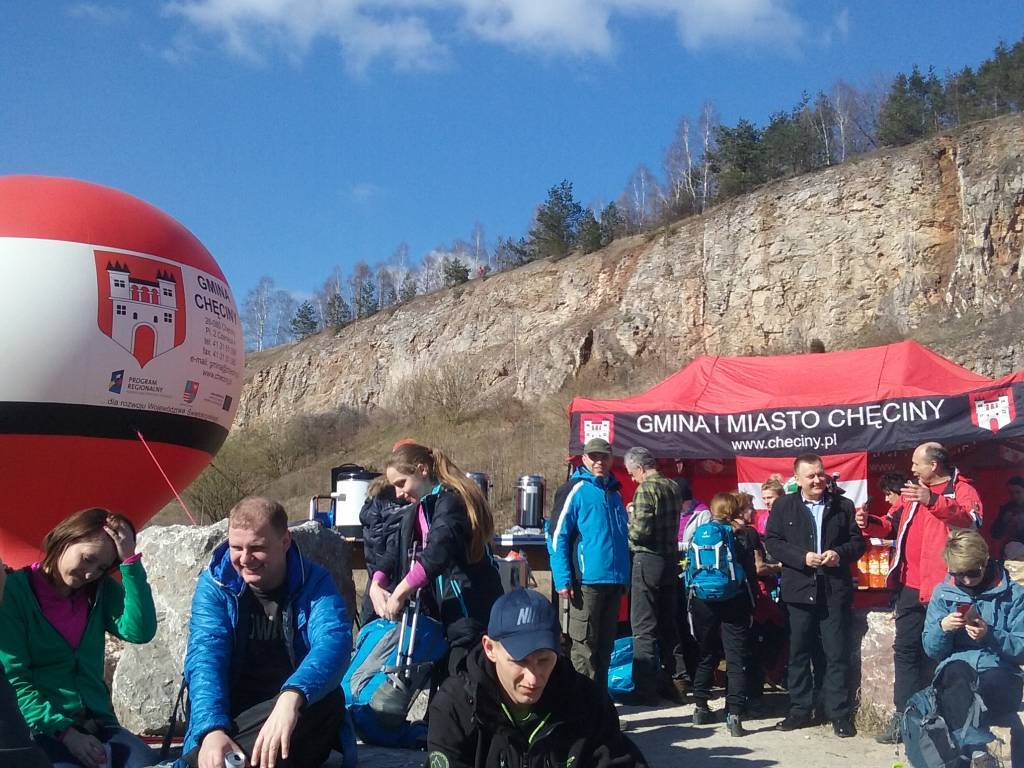

Charakterystyka trasy

Komentarze
NA TEJ TRASIE PRZYDA CI SIĘ MAPA Z NASZEJ APLIKACJI
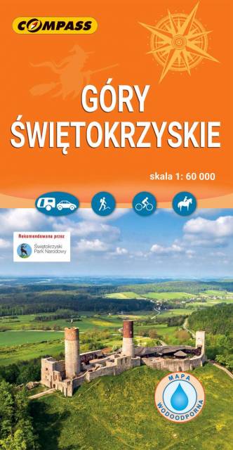
Mapa turystyczna "Góry Świętokrzyskie" przedstawia całość masywu, położonego w centralnej części Wyżyny Kieleckiej. Niezbyt wymagający teren sprawia, że jego ścieżki przemierzać mogą także mniej doświadczeni turyści. Obszar przedstawiony na mapie zamyka się w granicach: Końskie na północy, Raków na południu, Ostrowiec Świętokrzyski na wschodzie, Dobrzeszów na zachodzie. Rok wydania 2023
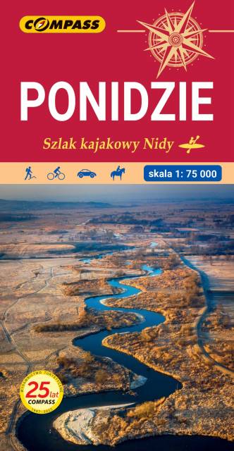
Mapa Ponidzia przedstawia region położony w województwie świętokrzyskim nad dolną i środkową Nidą. Zasięg mapy wyznaczają: od północy - Chęciny; od południa - Proszowice; od zachodu - Jędrzejów i od wschodu - Staszów. Wzdłuż Nidy leżą najstarsze miasta regionu: Chęciny, Pińczów, Wiślica i Nowy Korczyn. Doskonałe warunki do wypoczynku oraz uprawiania sportów wodnych daje utworzony na rzece Czarnej Staszowskiej zbiornik Chańcza. Rok wydania: 2024